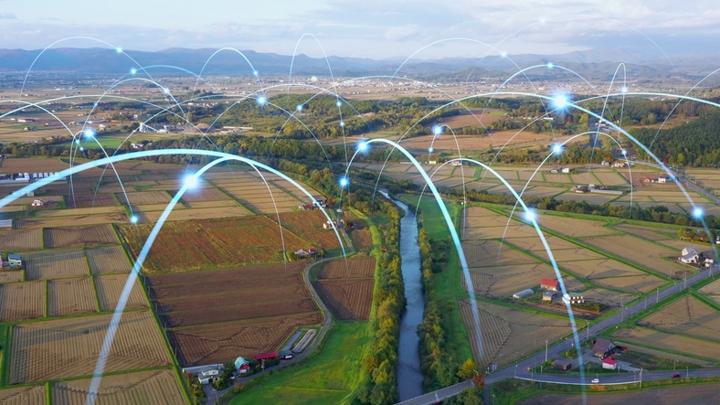
Innovative satellite technology to predict crop yields would offer a lifeline to developing countries plagued by data scarcity and climate challenges.
Cornell University researchers and their partners have devised an innovative framework to forecast crop yields using minimal data, a vital advancement for developing nations grappling with limited data availability, food insecurity, and climate threats.
Globally, crop yields are declining, largely attributed to climate change. A recent Cornell study highlighted that over the past forty years, a temperature increase of just 1 degree Celsius led to a 66% decrease in net farm income.
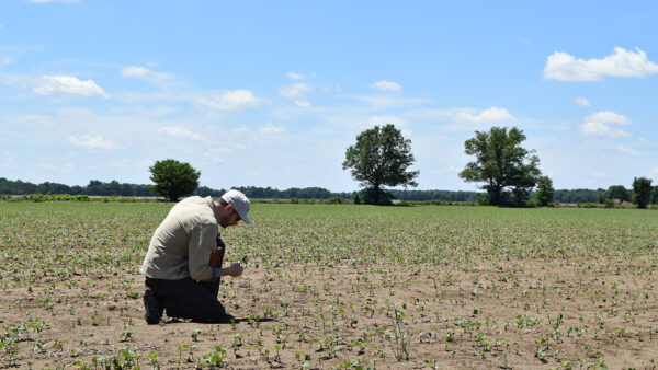
While farmers in developed nations often benefit from extensive datasets and sophisticated risk management tools to mitigate the effects of extreme weather on their crops and income, those in developing countries face significant challenges due to data scarcity.
Published in Environmental Research Letters in March, the researchers’ paper introduces the use of satellite imagery to measure solar-induced chlorophyll fluorescence (SIF) for evaluating and predicting crop yields. This method was tested on corn fields in the U.S. and wheat fields in India, demonstrating its potential applicability to various crops worldwide.
“Chlorophyll fluorescence is the reddish light re-emitted by photosynthetic tissues and organisms, serving as a proxy of photosynthetic energy conversion in plants,” Ying Sun, a co-author and associate professor of soil and crop sciences at the College of Agriculture and Life Sciences (CALS), explained in a news release
“It won’t tell you how many ears of corn are in a field,” Sun said, “But step one is to model photosynthesis from fluorescence. Crop yield depends on photosynthesis. Here we have a mechanistic model, which is very important.”
Chris Barrett, also a co-author and a professor of applied economics and management, sees significant potential for this approach in policy-making, crop insurance, and poverty forecasting.
“This strategy takes advantage of the growing availability of satellite data and is cheaper to use and faster to access than other yield-prediction methods,” he said. “I see this as promising. I can imagine this being helpful in predicting poverty at a village-level scale in rural areas where a lot of the economy is driven by agriculture.”
Barrett also noted the utility of this tool for organizations providing food aid, as it allows for quicker and more targeted responses. Meanwhile, Sun mentioned ongoing research aimed at adapting this tool for real-time use, enabling farmers to adjust soil amendments or irrigation strategies to enhance the health and productivity of current crops.
Lead author Oz Kira, from Ben-Gurion University of the Negev, emphasized the adaptability of their model to changing conditions, unlike traditional machine learning models that often assume static environmental conditions. “If growing conditions change, it’s possible that predictions aren’t applicable,” Kira stated. “In our case, we are not basing our models on prior observation. This can take climate change into account.”