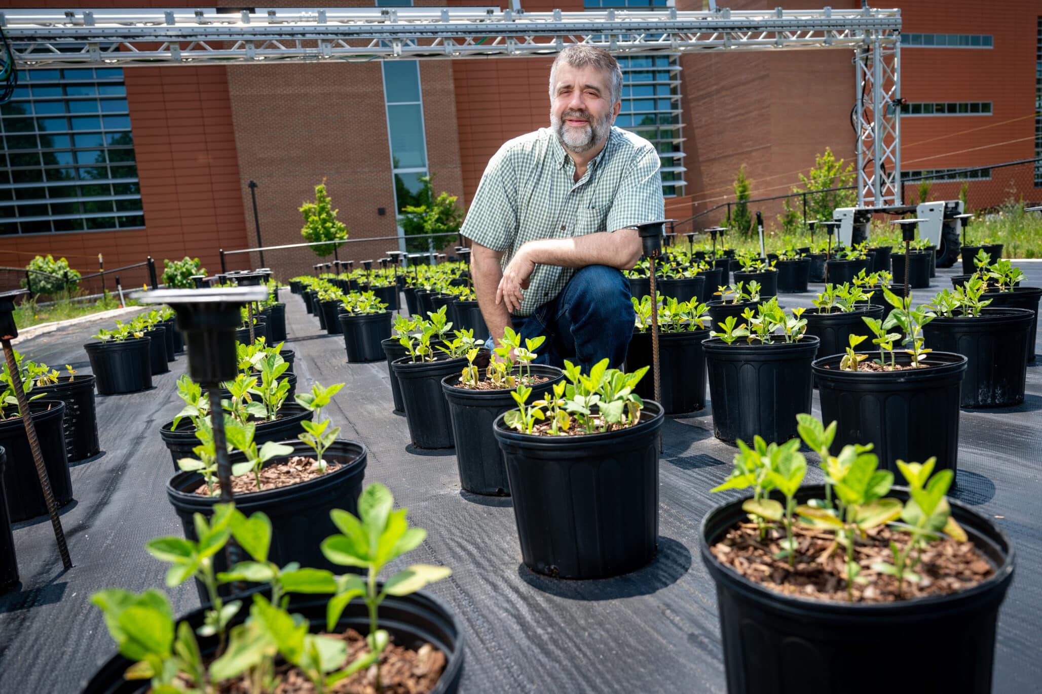

A new suite of high-resolution soil and landscape maps has been developed for Great Britain to support online tools used by farmers and land managers, as well as future environmental science research.
Created through the AgZero+ programme, the maps are designed to deliver more detailed, harmonised and easily updatable information on the soils that underpin the UK’s ecosystems and food production systems.
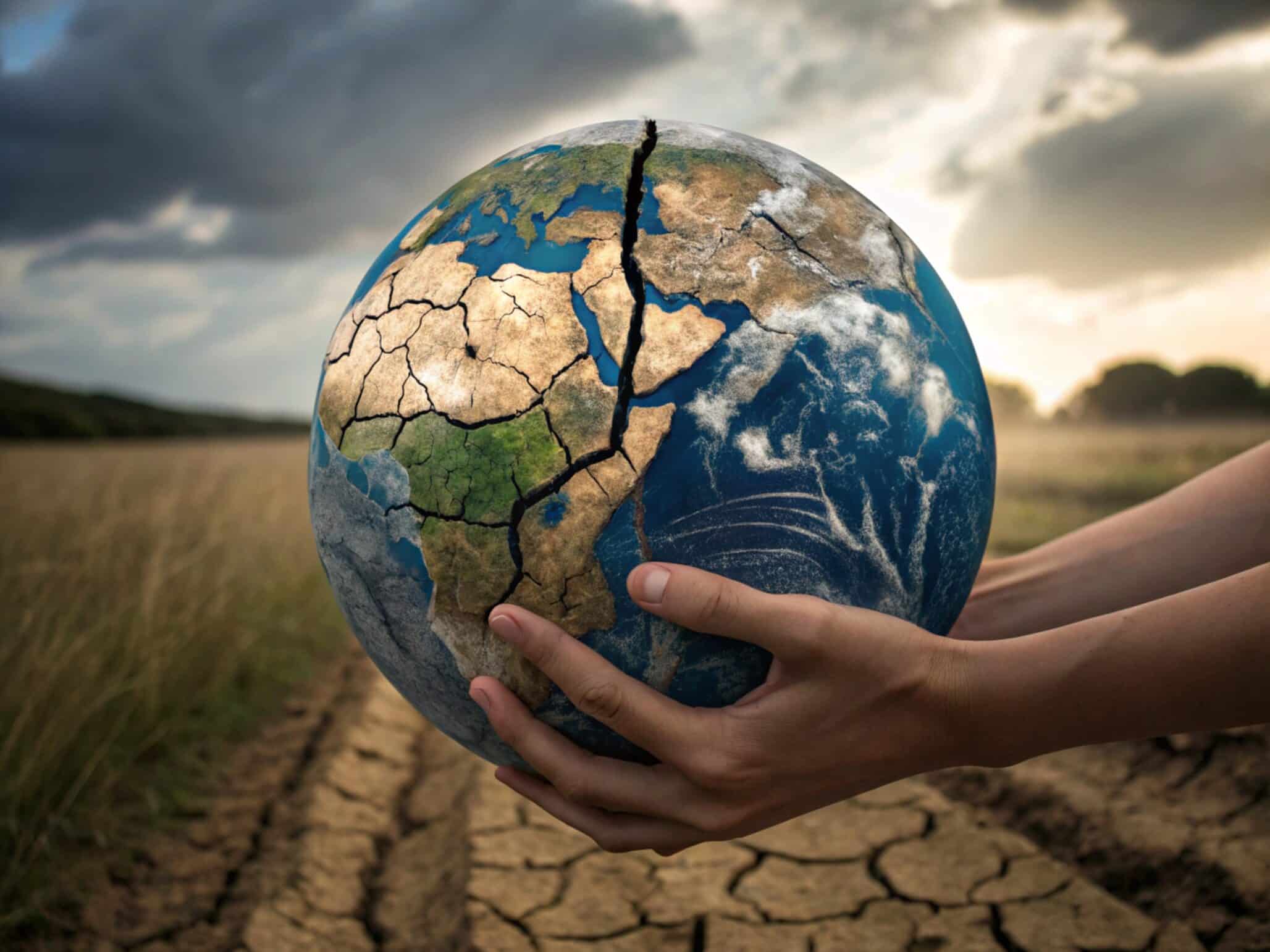
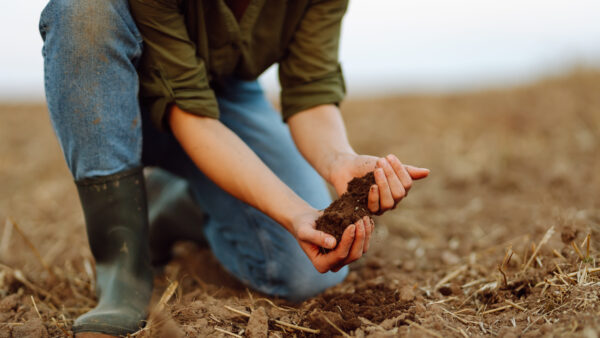
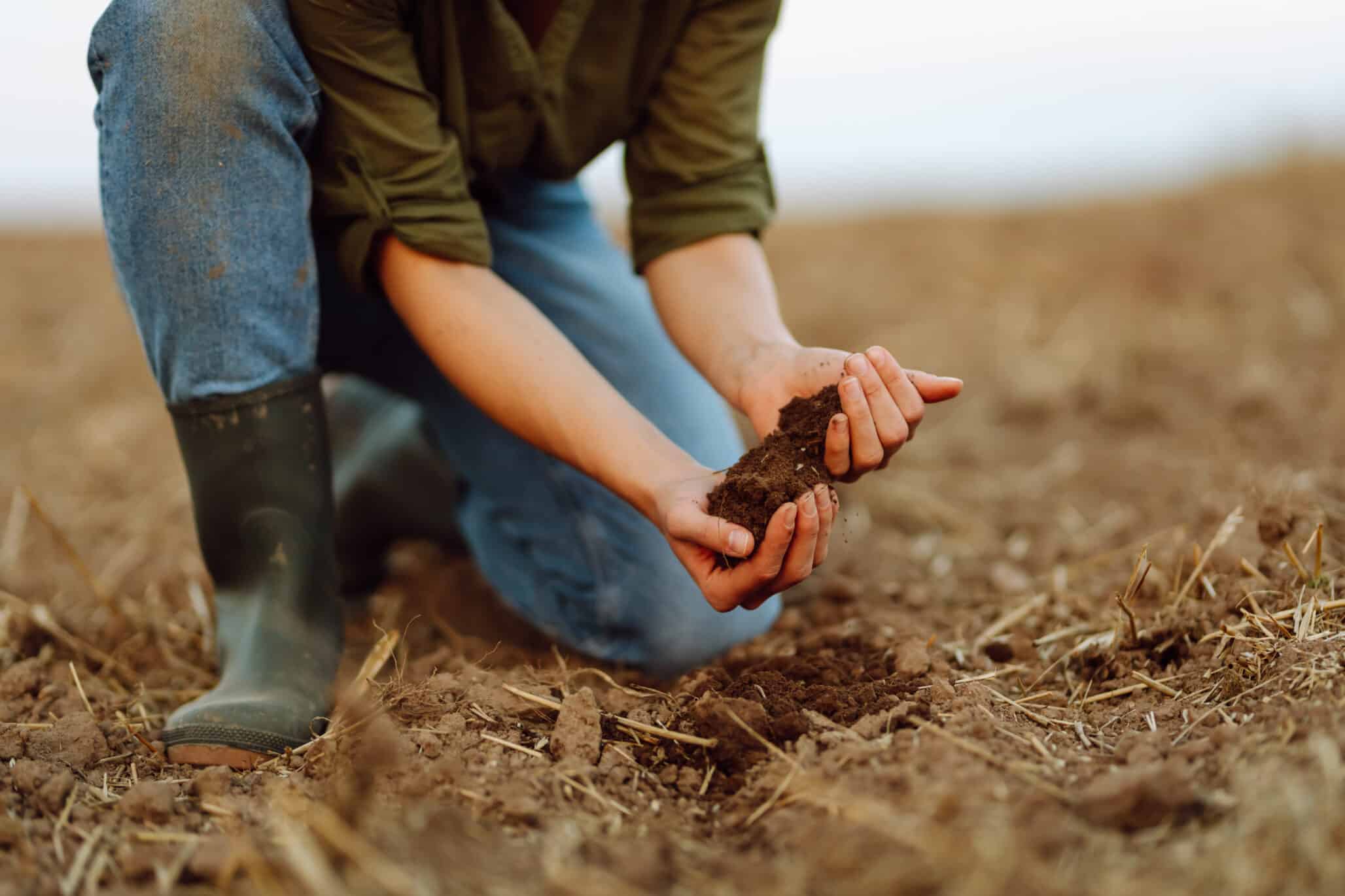
Healthy soils are essential for biodiversity, climate resilience and sustainable food production. Without accurate and current mapping, however, land management practices may contribute to soil erosion, compaction and the loss of organic matter, all of which threaten long-term soil health and have wider consequences for society and the environment.
While the UK already has extensive soil data, the new maps provide information in a more accessible format, with finer spatial resolution, greater consistency across Great Britain and improved potential for regular updates as environmental conditions change. This will help ensure their long-term usefulness and relevance.
The maps were developed by combining national-scale datasets on geology, hydrology, terrain and land use. Together, these factors influence how soils form and change over time, and were used to generate a new high-resolution map of 13 soil classes covering the whole of Great Britain.
The new maps are expected to support a broad range of applications. They will help researchers create improved datasets to better understand landscapes, assess risks to soil health and strengthen digital tools that support farmers and other land managers in improving soil condition.
How Can The New Maps Be Used
The maps will support a wide range of applications, according to a press release. They will help researchers to develop new datasets to better understand our landscapes, model risks to soil health, and enhance digital tools to help farmers and other land managers to improve their soils. Key examples include:
- Supporting the e-Planner tool to help land users identify which areas of land can be managed differently to produce several environmental opportunities, like creating new habitats for pollinators and reducing flood risks.
- Providing valuable soil type context to allow farmers to compare their soil health against nationally representative benchmarks.
- Refining algorithms that allow us to map different habitats more accurately.
- Educating people about the soils beneath their feet, including how different soils are formed across the landscape, and why this matters for people and planet.
The dataset is available for non-commercial use via the Environmental Information Data Centre