Brazilian researchers have created a remote-sensing methodology to map frost damage in corn crops, helping reduce climate-risk exposure and uncertainty around agricultural losses.
Designed to be adaptable, the model lets users customize input variables, making it transferable to other crops and production settings. This flexibility can support more accurate harvest assessments and inform public policies that strengthen production chains and agricultural insurance systems.
The study also highlights Brazil’s outsized role in global grain supply. Along with China, the United States, India, and Argentina, Brazil is part of a small group of countries that concentrates much of the world’s production of staples such as rice, corn, wheat, and soybeans. As climate change drives more intense droughts, extreme rainfall, and increasingly frequent frosts, yield swings in these major producers can ripple through global supply and prices — an issue discussed in international negotiations, including COP30 in Belém.
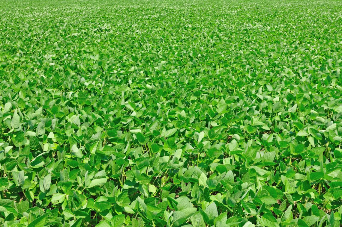
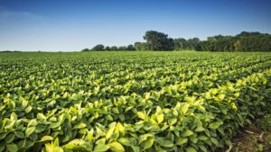
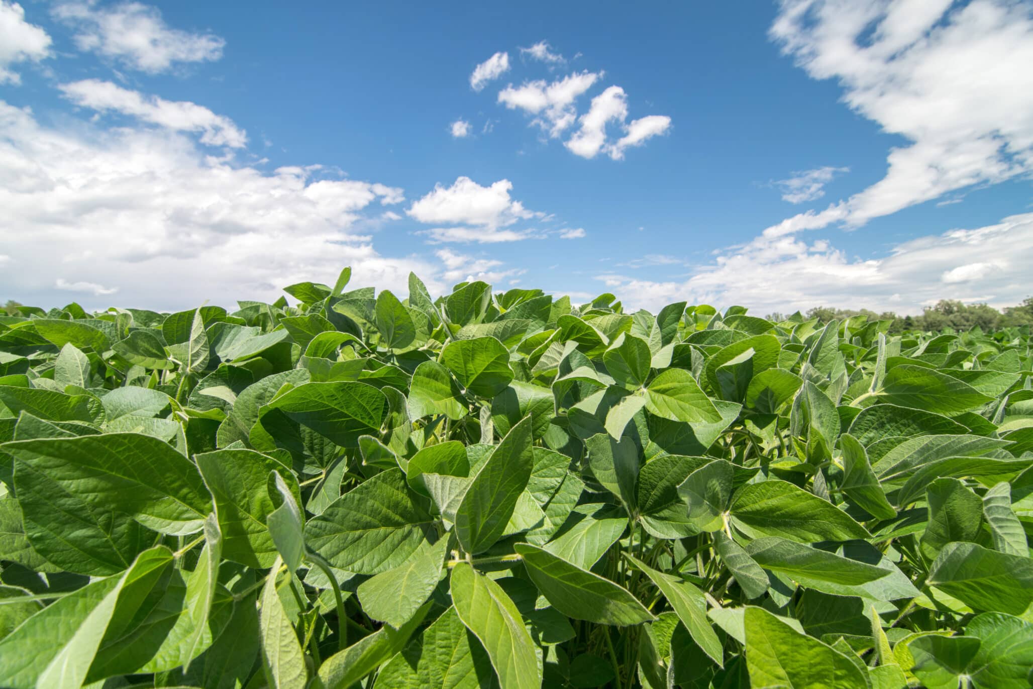
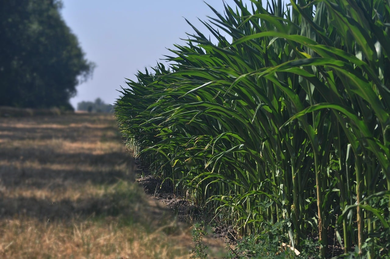
To validate the approach, the team analyzed more than 700,000 hectares of second-crop corn in western Paraná (around Toledo and Cascavel), focusing on damage from severe frosts recorded between May and June 2021, according to a press release.
Researchers combined optical satellite data from Sentinel-2’s MultiSpectral Instrument (medium spatial resolution) with machine learning using a Random Forest algorithm. The method achieved 96% accuracy in identifying corn fields and indicated that roughly 70% of the mapped area showed frost damage during the period. The team mapped affected zones using their approach, called GEEadas.
The findings were published in Remote Sensing Applications: Society and Environment.
“In 2021, we had a drought that disrupted soybean planting in Paraná and, as a result, delayed corn planting. Then, in June, came the news of the frost. That region normally has high rainfall, which benefits crops. But we see that the climate in recent years hasn’t been normal,” says Marcos Adami, a researcher from the Earth Observation and Geoinformatics Division (DIOTG) of the National Institute for Space Research (INPE) and one of the authors of the article.
“A crop failure there greatly affects the lives of the people, most of whom depend on agribusiness. Developing this study is a way to provide tools that give answers and contribute to the planning of measures that help maintain this important activity.”
For several years, Adami has collaborated with Professor Michel Eustáquio Dantas Chaves, of the Faculty of Sciences and Engineering at São Paulo State University (UNESP) in Tupã, on remote sensing research aimed at practical agricultural applications.
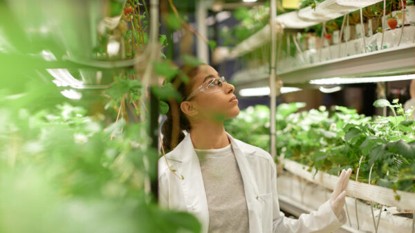
“Producers still face a number of climatic uncertainties during the harvest, especially when there are extreme events, such as frost, which have social, economic, and environmental impacts. In such cases, it’s necessary to identify how much of the crop has been affected in order to inform the farmer, the banks that grant credit, or institutional bodies. This method provides accuracy, indicating the affected area and reducing uncertainties,” says Chaves, first author of the article.
Importance to the Sector
In its October 2025 estimate, Brazil’s Institute of Geography and Statistics (IBGE) reported that the national harvest of cereals, legumes, and oilseeds reached 345.6 million tons — an 18% increase over 2024 and the highest level in the historical series. Rice, corn, and soybeans are the main crops, together representing 93% of estimated production and 88% of the harvested area.
Paraná is Brazil’s second-largest grain producer, behind only Mato Grosso. Corn output in 2025 was estimated at 141.6 million tons, also a record.
According to the study, the 2019/2020 harvest totaled about 103 million tons — roughly double the volume produced in the previous decade — with around three-quarters of production coming from the second crop. In this system, corn is planted after soybeans and harvested between June and July. Growth in the second crop has been enabled by management advances, including new fertilizers and the adoption of short-cycle corn varieties.
However, second-crop corn typically carries higher risk than the first crop because of lower water availability and greater exposure to extreme weather, including frost. While Brazil has frost warning systems, it still lacks precise methods to measure damage in the field.
Adami notes that he is working with the National Supply Company (CONAB) in Rio Grande do Sul, Paraná, and São Paulo to develop methodologies and gather data that improve the accuracy of crop yield estimates.